Event
[WEBINAR] GeoHub: a cloud-based intelligent webGIS for UNDP – 16/05/2024
[WEBINAR] Mapping the Way to Aid – 23/05/2024
[EVENT] Seminar on “Increasing the Visibility of the Geosciences: Some Ideas From Geodesy” by Prof. Rizos – 14/05/2024 10:30AM
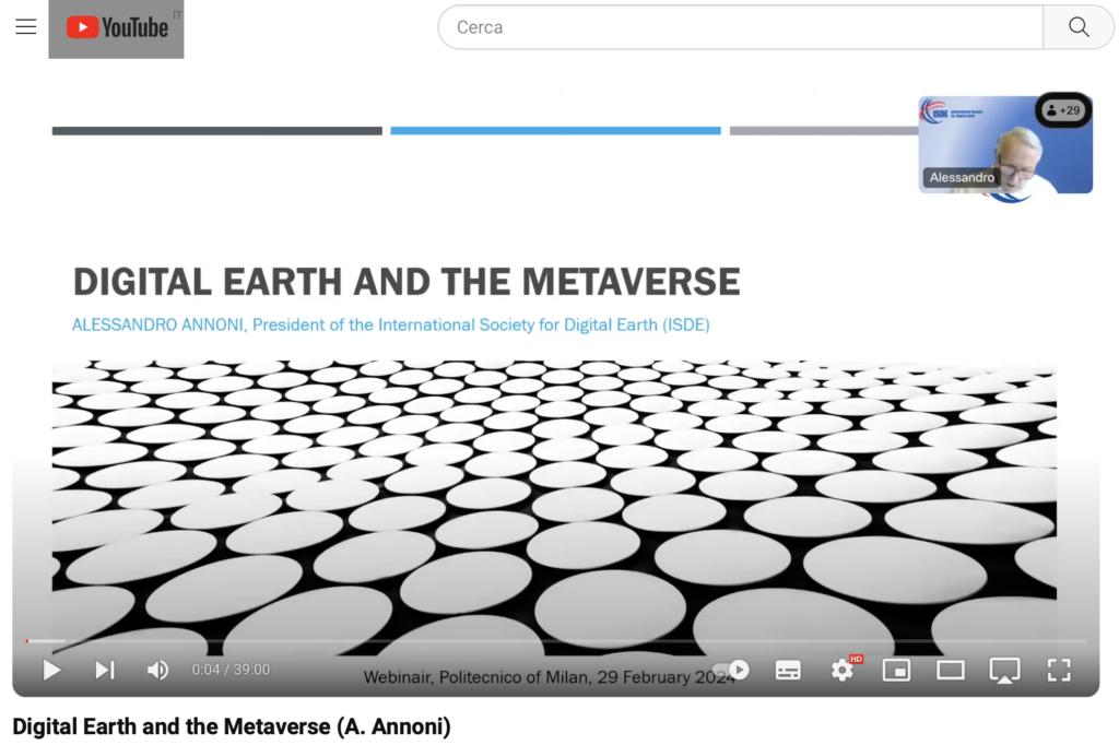
[VIDEO] Seminar on ‘Digital Earth and the Metaverse’ – 29 February 2024

The video in on-line on the POLIMI Youtube channel
[EVENT] UN Mappers – The Crowdsourcing Community – 22 February 2024
[EVENT] Urban Digital Twins in Korea Experiences by Gaia3D – 28/02/24
28 February, 2024, 12:15 – 13:15
Politecnico di Milano – room 2.1.5 and https://politecnicomilano.webex.com/meet/maria.brovelli
Speaker: Mr. Sanghee Shin – CEO of Gaia 3D
A digital twin is a virtual replica of real-world models, processes, and phenomena. Digital twins are mainly used in manufacturing, health care, and urban management. In this talk, the speaker will share his company’s experiences in implementing urban digital twins in Korea. Digital twins are a prominent topic in Korea, with significant investment from the Korean government in the development and implementation of digital twin systems. He will present several real-world examples of digital twins, focusing on the technological aspects. Also, he will discuss the challenges and limitations of digital twins.
[EVENT] Why to choose GEOINFORMATICS ENGINEERING? 07 February 2024
February 7th, 2024 – Politecnico di Milano, p.zza Leonardo da Vinci 32 – room 3.1.3 – 4 PM
Program
16:00 Introduction
Giovanna Venuti– Chair of Geoinformatics engineering study program
Daniele Oxoli– Assistant professor at DICA PoliMI and GEOlab technical responsible
16:15 Mitigation of Carbon Footprint Associated to Urban Traffic: A Geospatial Prospective
Luca Pappalardo – senior researcher at the National Research Council of Italy (CNR) and Professor at
Scuola Normale Superiore of Pisa
16:45 Exploring Spatio-Temporal Mobility Patterns within the City Structure
Riccardo Di Clemente – Director of the Complex Connection Lab an Associate Professor at Network
Science Institute, Northeastern University London.
17:15 Q&A session
[EVENT] GIEWorks, the Geoinformatics Engineer works – 14/12/2023
Meetings with former Geoinformatics students: their experience.
Dear students, we are glad to announce that a Meeting of GIEWorks will be held next December, 14th, from 4:15pm to 5:15pm by remote connection on Webex.
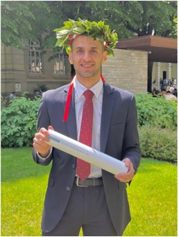
We will meet Dr. Eng. Naomi Petrushevsky, PhD student at Politecnico di Milano,
Dr. Eng. Mousa Sondoqah, from EURAC and Dr. Eng. Alessandro Austoni, from Planetek Italia.
The link to the Webex room is https://politecnicomilano.webex.com/meet/giovanna.venuti
The speakers

Naomi Petrushevsky. She received her master’s degree in Geoinformatics engineering in 2020. Her thesis topic was combining optical and Synthetic Aperture Radar (SAR) data for urban classification. Currently, she is studying toward a Ph.D. in telecommunication engineering, where she is mainly focused on the design and signal processing of new SAR constellations with small satellites (CubeSats). In addition, she works as an application engineer in Aresys, a spin-off of Politecnico di Milano.

Mousa Sondoqah. Master’s Degree in Geoinformatics Engineering at Politecnico di Milano. Thesis topic: ‘The application of NAS and AutoML on Temporal Convolution Neural Networks-Deep learning for Privacy Preserving Computation and forecasting as a service’. He has a researcher position at EURAC, Bolzano/Sudtirol, working on:
– Building machine learning and deep learning workflows to handle datastreams produced by photovoltaic systems
-Designing Large-Language models tailored specifically for applications within the energy sector.

Alessandro Austoni. My thesis focused on detecting Bark Beetle infestations in Spruce and Pine trees, using Python, Google Earth Engine, and QGIS, contributing to the preservation of our precious ecosystem. During my studies, I was an Intern, Earth Observation Data Analyst in European Space Agency at Frascati. Now I’m working as GeoServices Techincal Assistant in Planetek Italia, Bari. My role is the development of innovative applications and services to support geospatial/remote sensing projects which require the elaboration of remote sensing data by using Earth Observation/GIS software or developing ad-hoc codes.
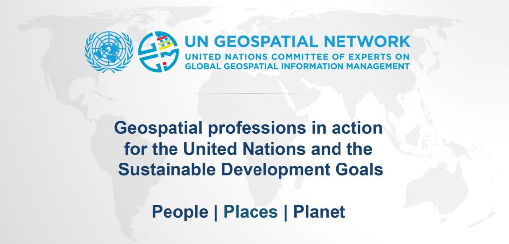
[EVENT] Geospatial Professions in Action for the United Nations and the Sustainable Development Goals

Professor Giovanna Venuti is hosting next Friday, the 17th, at 4:30 pm CET an exclusive presentation by Alexandre Caldas, Director of the United Nations and Chair of the UN Geospatial Network.
Prof. Caldas will share insights on “Celebrating the Geospatial Professional in Action for the United Nations and the Sustainable Development Goals.”
Don’t miss out! Access the virtual room here: https://politecnicomilano.webex.com/meet/giovanna.venuti
For more details, visit the official UN Geospatial Network website: https://www.un.org/geospatialnetwork
