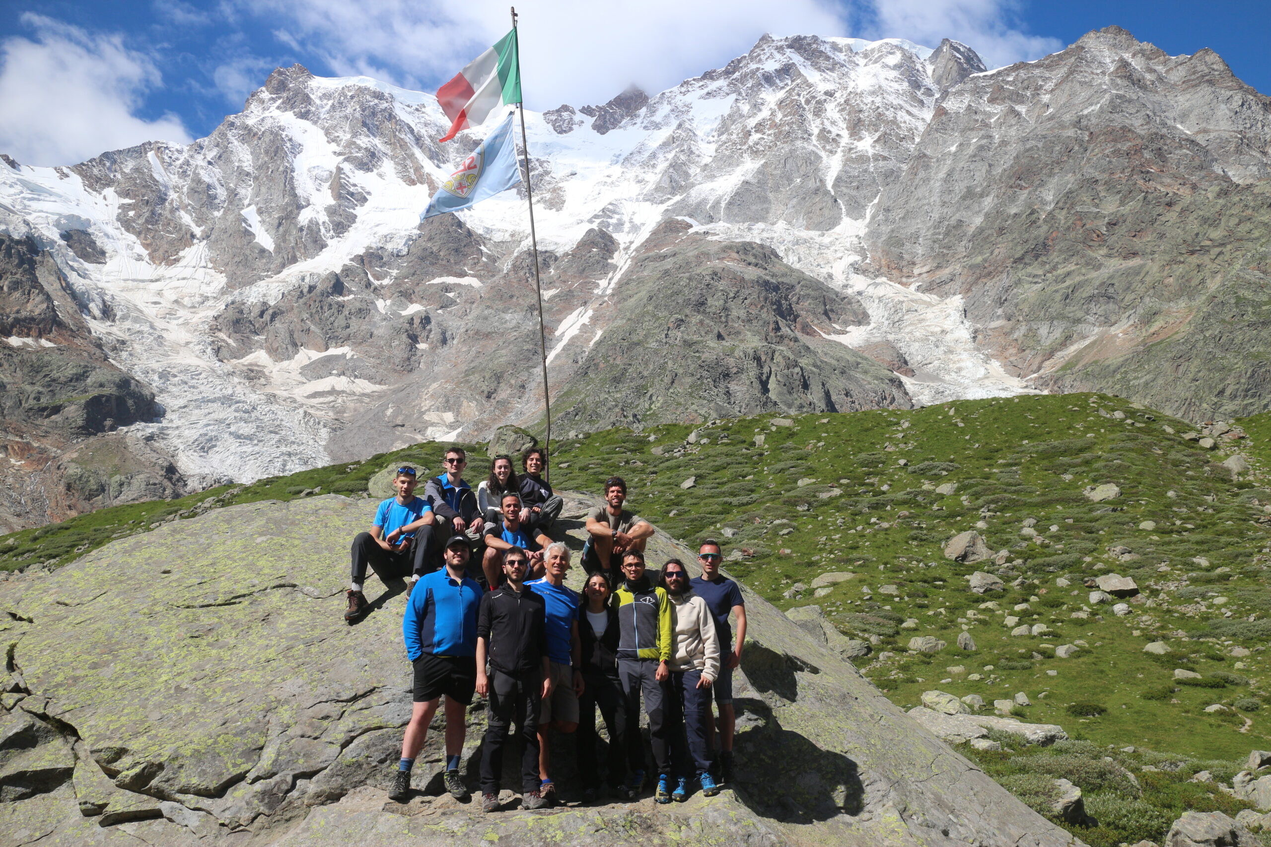
In the above photos, you see the students and researchers of the summer school on the Belvedere Glacier in 2023 (on the left) and in 2025 (on the right). Every year, they carry out a surveying campaign of the glacier. Using GNSS receivers, digital cameras mounted on drones, and lidar stations, they collect data that, when properly processed, allows for the creation of a 3D model of the glacier. Year by year, they record changes in the glacier’s shape caused by climatological phenomena.
What is a surveying campaign? What can you observe using these sensors? How do you process the collected data to create the 3D model?
There is a lot of theory behind it!
You can learn how to perform such monitoring by studying Positioning and Location-Based Services, Photogrammetry and Drone Surveying, Image Analysis, Computer Graphics, and Machine Learning.