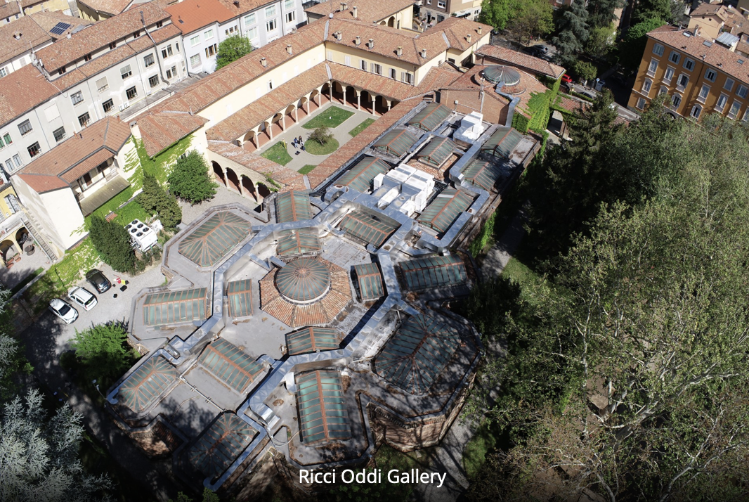
Heritage conservation and digitization are essential for the preservation and promotion of culture. We can develop advanced 3D surveying services through the application of geomatics techniques, including terrestrial laser scanners, GNSS surveys, UAV and terrestrial photogrammetry, and UAV lidar.
How can we build 3D digital models of buildings? What are the main challenges in generating such models?
In Geoinformatics Engineering, you will learn how to create digital models of structures.
Subjects covered include GIS, Positioning and Location-Based Services, Photogrammetry and Drone Surveying, Hypermedia and Mobile Applications, Earth Observation, Image Analysis, Computer Graphics, Databases, and Data and Information Quality.