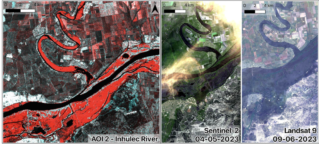
Satellite imagery can be used to detect flooded areas. In the picture, you can see the results of a change detection analysis over the Kherson region in Ukraine, highlighting in red the area affected by a flood of the Inhule River in 2023.
From left to right, the image shows a Synthetic Aperture Radar (SAR) false-color image and two optical images of the area: one taken before the flood and one after the flood.
But what is a Synthetic Aperture Radar (SAR)? What is a SAR false-color image, and what is an optical image? How can we detect the changes caused by a flood?
This is an example of what you will learn in Geoinformatics Engineering.
Subjects covered include Earth Observation, Geospatial Data Analysis, Geospatial Data Processing, and Image Analysis.