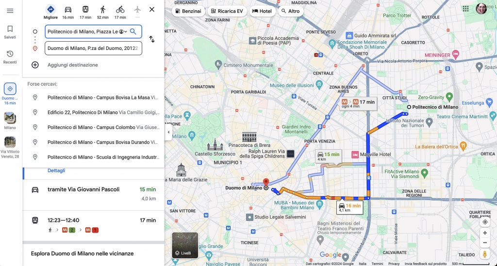
This picture is familiar to all of us. It is a screenshot of the Google Maps application that we use on our smartphones when we need to find a route to a location.
It shows a map of the area we are interested in, including streets and buildings. Parks are represented in green, and historical buildings are marked with icons.
We can use the application as a navigation tool: it displays our position on the map, and a voice guides us with directions to reach our destination. A street view from different perspectives is also available to help us recognize the location.
It feels familiar, but what lies behind this seemingly simple tool?
How is the map generated? How can we position ourselves on the map? Where and how is the information displayed on the screen stored? How can we access it? Can we trust the information in the map? To what extent? And who is responsible for generating and updating the maps?
These are just some of the questions you will be able to answer by studying subjects such as GIS, Positioning and Location-Based Services, Photogrammetry and Drone Surveying, Hypermedia and Mobile Applications, Earth Observation, Image Analysis, Computer Graphics, Databases, and Data and Information Quality.